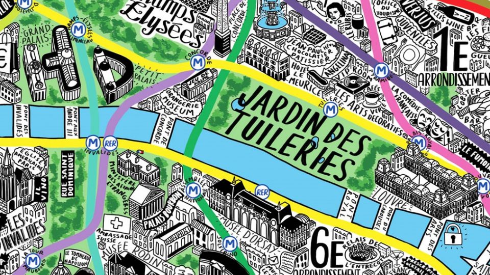
Cultural Map of Clapham

This is Clapham BID is pleased to announce that it has commissioned illustrator, designer, map maker, hand-letterer and human being Jenni Sparks to create a cultural map of Clapham.
Jenni has produced a number of fun maps of different cities around the world, which are well received by the public for its contemporary points of reference.
We would like members of the public to contribute to our map, by highlighting points of interest, local history, buildings, businesses and factoids that should go on the map.
Please leave us your suggestions in the comments section below or respond on twitter via the hashtag – #clapmap.
The aim is to get large versions of the map blown up into large unused spaces around Clapham and to create a printed guide to Clapham.

It would be nice to include information about the history of Clapham and its blue plaques
it would be great to link this to the Incredible Edible Clapham route map – linking food growing and healthy food initiatives in the local area – from Bandstand Beds to the Edible Bus Stop, via GP Food Coop, Cresset street guerilla gardening, schools, the college and businesses.
Please include the wonderful Bandstand Beds initiative located on Clapham common at The Spinney, the Bandstand and the green waste site off Windmill Drive. A veritable hive of activity on Saturday mornings throughout the year with many local residents involved in growing their own food.
Please include the churches and other places of worship in Clapham, or at least the more landmark ones e.g. St Mary’s (Redemptorist) Catholic Church and Holy Trinity Clapham Common.
From Clapham North Tube Station – Include the community library at Clapham North Tube Station
Oops just left this on your Facebook page, didn’t realise I had to do it here! So here it is again:
Hi – we’d love to see our lovely school, Heathbrook, on there. We have children from all over Clapham, as well as Streatham, Brixton, Stockwell… do get in touch if you want me to send a photo or help in any way. I have a couple of posters we’ve had in the past advertising our fairs, can I send you these (they’re pdfs, I can’t seem to attach them here)? There’s a really lovely image of the school on both. I live in Clapham Old Town and happy to give other suggestions if you want them… Good luck! Really looking forward to seeing it, your other maps are amazing@
Like · Reply · 1 min
This is a great idea!
Would love to see something about the Clapham Sect & William Wilberforce and the places they met in Clapham to abolish the slave trade.
Also please give a shout out on the map to the great Italian cafe opposite the bandstand on the common!
The lights of Clapham Leisure Centre
Clapham Library!
Many have picked up on the key political event that owed its origin to a group of reformers dubbed the ‘Clapham Sect’, who all attended Holy Trinity Church. William Wilberforce, Henry Thornton and the Reverend John Venn were the leaders, who managed to get Parliament to pass the Slave Trade Act (1807) and the Slavery Abolition Act (1833). England was the first country to liberate slaves. These are household names in Clapham, Henry Thornton School, Venn Street, Wilberforce House facing Holy Trinity, etc.
Holy Trinity Church (Listed Grade II*) was designed in 1774-76 by Kenton Couse, who was the architect for 10 Downing Street, and extended by Beresford Pite in 1902-03. It is a beautiful Georgian church of the Palladian type seen throughout New England.
It was built to replace nearby St Paul’s church (rebuilt 1815).
St Mary’s Church (Listed Grade II*), close to Clapham Common underground station, is also extremely important for the Catholic (and French) community in Clapham. Designed for the Redemptorists by William Wardell (1851), it is considered by Pevsner as good as Pugin’s churches. May of the interior fittings were designed by John Francis Bentley (1839-1902), who designed Westminster Cathedral and lived in a Listed Queen Anne terrace of three houses in Clapham Old Town (now occupied by the fashion designed Vivien Westwood).
Trinity Hospice on Northside was the home of Sir Charles Barry (1795-1860), the architect of the Houses of Parliament, where he used to follow the construction with his telescope from the widows walk on the roof.
Also on the Northside is the Queen Anne terrance where Graham Greene (1904-1991) lived and is the setting for his novel The End of the Affair, and the location for the film.
Don’t forget the Bandstand itself (1899).
There are the deep air-raid shelters built in 1942 at Clapham North, Clapham High Street and Clapham South, the latter will be converted to a restaurant and museum later this year.
Points of interest:
The site of Claud Butler’s original Clapham Manor Street Bicycle Works (Now Bicycle Mews)
Clapham Leisure Centre
The Orangery (on the Notre Dame estate)
Studio Voltaire
Bandstand Beds
Clapham Manor and Cresset Street street planting
Local businesses:
Bump N Grind (out of 64th & Social) on Clapham High Street
The Manor Bistro
Growing Underground